
Santa’s going to need an umbrella. And so are you. Because the weather outside is about to get frightful.
After nearly 30 days in a row of dry conditions across much of the Bay Area, winter finally began to show up on Friday, bringing steady rain that is expected to continue every day until Christmas.
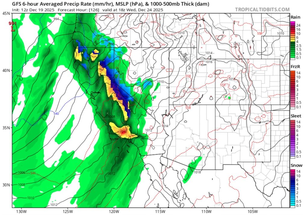
A series of storms will soak the region Saturday and Sunday, forecasters said, easing up a bit Monday and then dumping more rain Tuesday through Christmas Day on Thursday.
Altogether, the pattern should deliver about 5 inches by next Friday to many Bay Area cities, including San Jose, and communities along the East Bay and the Peninsula, with twice that much expected in parts of the North Bay and the Santa Cruz Mountains.
In many areas, the storm will deliver a month’s worth of rain — the December historical average — in a week.
“We’re going from the storm door being locked to it being wide open,” said Jan Null, a meteorologist with Golden Gate Weather Services in Half Moon Bay.
The storms are expected to slow travel, particularly on Wednesday, when 1-2 feet of snow is forecast to fall in the Lake Tahoe region and other parts of the Sierra Nevada, where dry conditions have delayed the opening of some ski resorts.


The storms are arriving in three waves. Friday night to Saturday morning will be light sprinkles. Saturday afternoon to Tuesday morning should bring more steady rain, with 1 to 2 inches in many Bay Area cities. And the big event is Tuesday afternoon to next Friday morning, with 2 to 4 inches in Bay Area cities.
The jarring shift from dry to wet occurs just as the first day of winter arrives on Sunday. It is driven largely by several atmospheric river events, experts said Friday.
Atmospheric river storms are the biggest “rivers” on Earth. Moisture-rich storms that often start in the tropics, they flow through the sky up to 2 miles above the ocean and carry 25 times the volume of the Mississippi where it flows into the ocean.
When high-pressure ridges off the coast block atmospheric rivers from hitting California, diverting them to Canada or the Pacific Northwest, the state can enter droughts. That happened repeatedly during California’s severe drought from 2012 to 2016 and again regularly during the most recent drought from 2020 to 2022.
But when such high-pressure ridges are gone, as they are now, “AR storms,” also called “Pineapple Express” events, can barrel in from the ocean to California, delivering a conveyer belt of rain and snow. They are critical for the state’s water supply.
In a typical year, California receives about a dozen big atmospheric river storms, which account for roughly 50% of its precipitation.
The upcoming storms are the first significant atmospheric river event in the Bay Area this winter, said Marty Ralph, director of the Center for Western Weather and Water Extremes at UC San Diego.
“Atmospheric river conditions are lining up” Ralph said Friday. “And hey could be long-lasting all week.”
Ralph and his colleagues developed a scale that ranks atmospheric river storms between 1 to 5, with 5 being the strongest. The storm Tuesday and Wednesday is expected to be at least a 3 in the Bay Area, he said, with a 50% chance it will be a 4.
“It’s going to be super wet all week,” Ralph said. “Traveling could be a concern in some areas. If you have to drive over mountain passes on Wednesday or Thursday, pay close attention. If you are flying, pay attention also. It’s that time of year and this is a weather situation that warrants it. Mother Nature is going to throw a pretty substantial set of storms at us in the next few days.”
The National Weather Service on Friday issued a winter storm watch Tuesday night through next Friday morning from the Yosemite Area to Mount Lassen, including Interstate 80 and Highway 50 with 4 feet or more of snow at the highest elevations, and winds gusting to 45 mph. That could mean chain controls on Interstate 80 and Highway 50.
Over the weekend and through Monday and much of Tuesday, however, snow is not expected to affect travel because the storms are relatively warm and snow levels will be above 8,000 feet. But by Wednesday that will drop down to 5,500 feet, the National Weather Service said.
“Tahoe will have a White Christmas,” Null added.
Lake Tahoe area ski resorts are expecting a “Christmas miracle” for an area that has struggled to begin ski season after a month of dry weather, said Bryan Allegretto, a forecaster with Open Snow, a company that tracks weather conditions at ski areas across the nation.
“The Tahoe region should expect two to four feet or more on the mountains by next Friday,” Allegretto said. “But we’ll continue to adjust the forecast as we get closer to the holiday. My guess is that the mountains will start to open up a lot of terrain.”
The rain is not expected to cause widespread flooding. Because the last significant rainfall in much of the Bay Area was Nov. 20, creeks and river levels are low.
Instead, nuisance flooding from clogged storm drains could hamper roads, and windy conditions could topple tree branches into powerlines, the National Weather Service said.
Gov. Gavin Newsom said that Caltrans crews were out Friday across the state clearing storm drains and preparing for the rain. The agency recommended travelers heading across the state — Southern California also is expecting downpours on Christmas Eve — check its website for live road conditions at https://quickmap.dot.ca.gov.
Airports suggested holiday travelers check flights frequently and leave plenty of time.
Doug Yakel, a spokesman for San Francisco International Airport, said rain and windy conditions could delay some flights in and out of the area all week. The busiest two travel days are Saturday and Sunday, where about 170,000 people a day are expected at SFO, he said.
“Pack a little patience,” Yakel said. “Delays are all about keeping flying safe at a time when weather conditions make it more challenging.”